Cape Schanck revisited
Walk overview
Length: 12kmTime: 5.5 hours
Grade: Medium
Ascent: 250m
Maximum height: 150m
Region: Mornington
Map: Meridien Publications 1:25,000 Mornington or Arthurs Seat
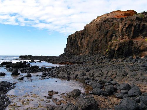
We (Claire, Andrew, Helen and I) met at the carpark at Fingal Picnic Ground - each of us running a little later than our planned meeting time of 9am. A little after 9.30am we set off for Cape Schanck, walking along tracks high above the beach. We made our way through the Cape Schanck carpark to the boardwalk - a large wooden walking platform that lets you get right down to Cape Schanck. We had a wander around on the rocks (see the photo above) trying to spot some of the intertidal rockpool inhabitants, before returning.
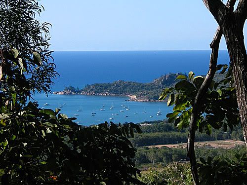
It was shaping up to be a beautiful sunny day by the time we found the walking track to Bushrangers Bay. We spotted an echidna crossing the walking path (Helen and Claire had a much longer viewing of perhaps the same one a bit later in the day). We walked the 3km to the bay, admiring the rolling green pastures to the left of the track and the sea views to the right.
Once we reached the bay, we had a little rock-hop over a creek to get to the main part of the beach. Unfortunately, the tide was high and the rockpools near Elephant Rock were submerged, and unreachable. We stopped for lunch on the beach, joined by a single seagull who was happy to grab the few crumbs we threw his way.
Since most of us weren't in the greatest shape, we decided to cut the walk further on from Bushrangers Bay and we also skipped the walk down to Fingal Beach. We retraced our steps back to the Fingal Picnic Ground, finishing the walk just before 3pm.
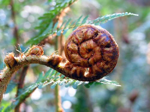
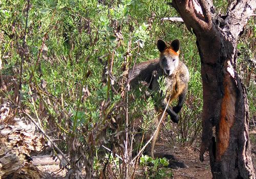
Photos from this walk

For more, see: Cape Schanck photo slideshow
Posted by Dey at 6:48 PM | Link to this post
![]()